ILLUSTRATION
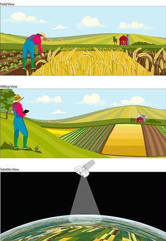
Farm and crop views illustrations for Medium.com blogpost.
Are Your Maps Lying to You? Let’s Talk About Subjectivity in Maps and Geospatial Information
Wriiten by Madeline Lisaius for the Rockefeller Foundation and Matter of Data. Illustrations by Chantelle Norton.
medium.com/matter-of-data/are-your-maps…